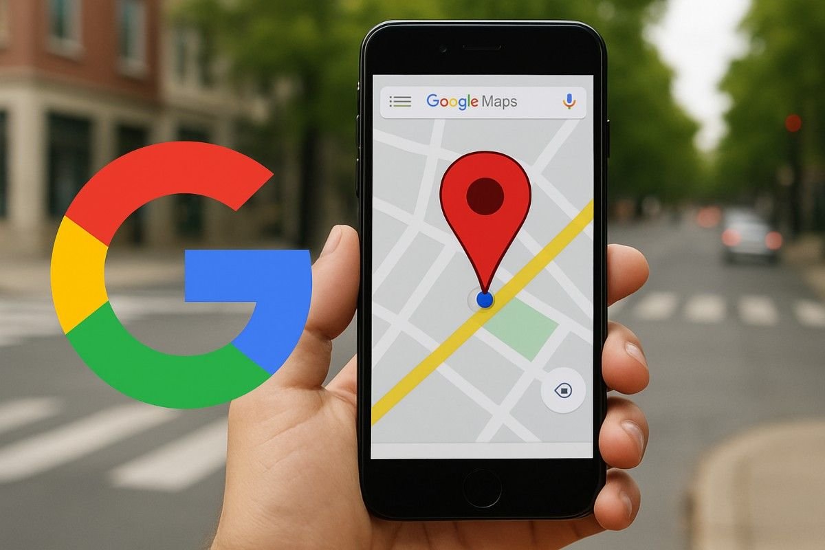
Google Maps is a daily fixture — the shortest route to the office, the status of the roads, or the closest restaurants. Have you ever taken the time to consider the magic behind the fact that Google can identify your precise location?
The key involves the amalgamation of GPS satellites, Wi-Fi infrastructures, cell towers, Bluetooth transmitters, and phone sensors. In the article below, we shall lift the lid off the secret technology behind Google Maps location tracking, what it entails for you, and what you can try regarding controlling your privacy.
Substrate Technologies that Fuel Google Maps Location Tracking
Google Maps doesn’t rely on one method for tracking your location. It employs several technologies and combines them together for more accurate results.
GPS Satellites
The GPS (Global Positioning Service) links your phone with a constellation of satellites that circulate the earth. When it calculates the distance from at least 3–4 satellites, your phone can pinpoint your location precisely within a few meters. It is best used outdoors under an open sky.
Wi-Fi Networks
When you’re indoors or your GPS isn’t very effective, Google Maps calculates your location through available Wi-Fi routers nearby. You don’t really need to tap into your Wi-Fi since your phone can receive signals and make them more location-specific.
Cell Towers
Your phone is continually communicating with the mobile towers. When it can gauge signal quality from multiple towers, Google Maps can approximate your location — convenient where you’re remote and there isn’t plenty of Wi-Fi.
Bluetooth Beacons
In the mall, the airport, or the stadium, Bluetooth beacons serve the function of assisting with interior navigation. They transmit little pulses to your phone, informing Maps your precise location within vast buildings.
Phone Sensors (Accelerometer, Gyroscope, Magnetometer)
- Your phone also utilizes interior sensors:
- Accelerometer → monitors movement (driving, walking).
- Gyroscope → detects direction.
- Magnetometer → it acts like a compass.
These sensors enable the more precise Google Maps, particular for turn-by-turn directions.
How Google Utilizes This Geographic Data
Google doesn’t just trail you for directions — the data powers a variety of features:
- Live Cams — Google displays footage from cameras beside roads and highways and transmits real-time road and traffic conditions.
- Route Optimization — Google calculates the shortest time based on traffic, roadblockages, and adverse weather.
- Local Suggestions — Recommends restaurants, gas stations, ATMs, and hotels nearby.
- Emergency Services — Helps first responders locate users during emergencies.
- Advertising & Business Insights — These organizations use such data for particular advertising and customer behavior studies.
Privacy Concern with Google Maps Location Tracking
Just as location tracking decomplicates life, it engenders related problems of privacy:
- Location History — Google stores your visited locations on your account.
- Targeted Ads — Ads are played based on your movement data.
- Data Breaches and Abuse — The wrong people can get their hands on your private movement data.
- Legality Concerns — Google was sued and penalized multiple times across the globe for ambiguous location data practices.
How to Control or Limit Location Tracking
If you’re worried about privacy, you can specify what Google can and can’t collect:
- Pause or delete Location History for your Google Account.
- Turn off Web & App Activity to disable location-based app syncing.
- Switch on Google Maps’ Incognito Mode and browse and search without the history being retained.
- Manage App Permissions — Turn off the location permission for apps that don’t need it.
- Browsec VPN for more security and anonymity.
Google Maps Future of Location Tracking
And the future is even more high-tech:
- Augmented Reality (AR) Directions — AR arrows pointing you the way on streets.
- Indoor Navigation — Enhanced precision within airports, hospitals, and shopping centers.
- AI Predictions — Google can anticipate your next destination from your habits.
Conclusion
Google Maps is more than a program for maps — it is an amazingly powerful combination of satellite, networks, and sensors working together. As easy as it is with the benefits of real-time traffic and smart recommendations, it does raise issues over privacy and data security.
The key is simply balancing: enjoy the benefits of the power of pinpointing where you are, but think hard about what you’re exposing and what you can change.